Advanced Groundwater Survey of Iraq
Using our exploration and modeling technology to understand the potential of Iraq’s groundwater
- Location: Iraq
- Date: 2014 – 2018
- Client: UNESCO
- Project Type: Groundwater mapping and assessment
Upgrading national groundwater planning with digital exploration tech and capacity building
Three decades of mounting water shortages in Iraq caused by river diversions upstream and a drying climate has prompted the government to try and tap into underground water to help shore up national supplies. Yet developing groundwater in Iraq is complex—shallow, easy-to-reach aquifers are becoming saltier and less reliable and deeper reservoirs are poorly understood—prompting a full-scale effort to explore for strategic groundwater across the country.
In 2014, with support from UNESCO, the Government of Iraq asked a Hydro Nova–US Geological Survey consortium to survey and assess the nation’s groundwater systems and give advice on better groundwater exploitation and development.
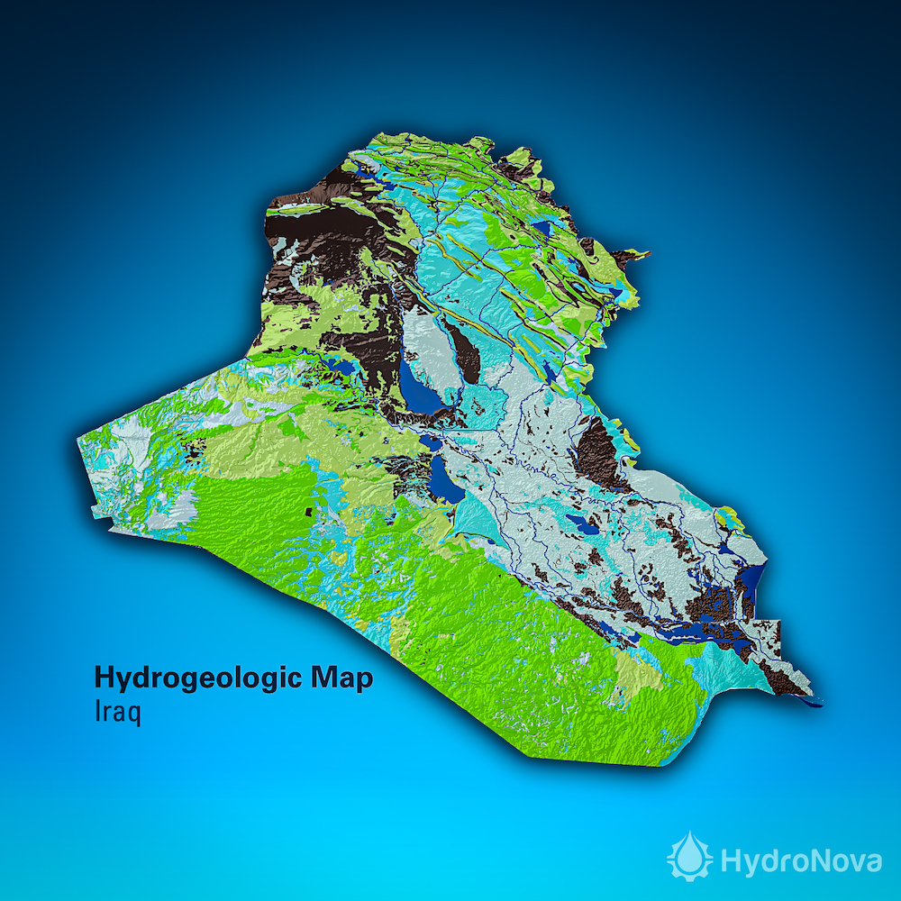
Our geology and water technology team carried out an extensive digital exploration campaign, generating new maps, analysis, and tools valuable for understanding and developing Iraq’s groundwater supplies.
Results showed the potential wealth of deep reserves and optimal drilling sites across different catchments, displaying the importance of managing these resources for the long-term. Now equipped with new data management and decision-support capabilities, the government can advance targeted exploration of strategic reserves and plan more effective groundwater-based supply projects.
Services Provided
Exploration technologies
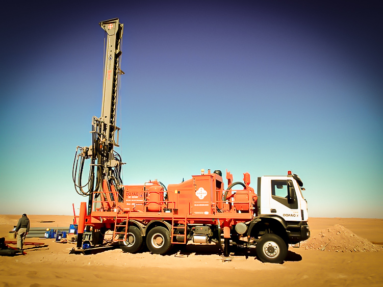
Our water exploration experts used machine learning, advanced 3D modeling and multi-geophysical interpretation to predict and unravel groundwater potential across Iraq, inventorying critical targets for deep drilling and managed aquifer recharge (MAR).
Groundwater mapping
Utilizing an iterative scaled approach, our hydrogeology team mapped groundwater from large regions down to critical drilling sites and management areas, including specialized maps on hydrogeology, cross sections, aquifer recharge, soil and vulnerable areas. Six previously undetected deep aquifers were mapped using oil-industry geologic data and soil moisture recharge analysis.
Groundwater data services
The ASHRI Web Portal was engineered as Iraq’s new cloud-based groundwater data management platform which enables Iraqi water managers to collect, view and analyze groundwater related information in real-time. The portal contains current and historical data about Iraq’s shallow and deep groundwater bodies as well as the network of water supply wells and monitoring stations.
Decision-support capabilities
We developed a package of water industry tools to aid in developing groundwater more effectively and plan groundwater projects, including planning models for priority reserves, a driller’s manual, a groundwater field navigation system, and high-resolution ground penetrating radar (GPR) equipment.
Groundwater governance
Our guidance and training on national groundwater planning led to the development of Iraq’s Roadmap for Groundwater Management, setting a path for managing the resource over the long-term.